
Auburn ZIP Coverage and Roles
Three verified postal roles shape an Auburn ZIP code directory. The central and eastern delivery area uses 36830. Western and southwestern growth is generally routed as 36832. Auburn University's institutional mail uses 36849, where campus staff apply department-specific ZIP+4 information and redistribute items within the university. A fourth number, 36831, appears possible in range-style output, but no official Auburn street-delivery use or facility was verified.
| ZIP | Areas Covered | Post Office | Notes |
|---|---|---|---|
| 36830 | Main central and eastern Auburn delivery area | Auburn Post Office, 300 Opelika Road | Retail, PO boxes, and General Delivery |
| 36832 | Generally western and southwestern Auburn | No separate official retail station located | Verify each address with USPS |
| 36849 | Auburn University campus and institutional mail | Campus Mail Services, 1161 West Samford Avenue | Department ZIP+4 and internal distribution |
| 36831 | No ordinary resident coverage verified | No official Auburn facility located | Do not infer use from a numeric range |
The main post office listed (334) 821-3754 and published retail hours of 8:30 a.m. to 5 p.m. weekdays and 9 a.m. to 1 p.m. Saturday when inspected. Campus Mail Services listed (334) 844-4810. Those offices explain routing, but neither postal label alone establishes municipal jurisdiction or who occupies an address.
Auburn's 36849 ZIP Route
The university role makes 36849 unlike Auburn's general delivery areas. Campus Mail Services receives items at an institutional point, uses department-specific ZIP+4 details, and routes mail within Auburn University. A name associated with 36849 may therefore connect to a department, program, office, or campus mailbox rather than a conventional residential street.
That difference affects public-record research. A university affiliation can be compared with the long Glomerata yearbook trail, faculty and staff sources, or the Auburn Plainsman, but institutional mail should not be converted into a home address. Keep the campus recipient, department, and date attached to the clue.
Verify Auburn ZIP Codes with USPS
The USPS postal lookup offers three useful modes: find an area by address, find cities attached to a postal number, and find postal numbers by city and state. Begin with the most complete address available. USPS cautions that the city or address it displays does not guarantee the physical location of a business, which reinforces the split between delivery labels and government boundaries.
| Lookup mode | Input | Best use |
|---|---|---|
| Find by Address | Street, city, state, and known postal number | Validate one deliverable address |
| Cities by ZIP | Five-digit postal number | Check accepted city labels |
| ZIP by City and State | City and state | Identify candidate delivery areas |
The official USPS results screen shown here is the final postal check after choosing a lookup mode.
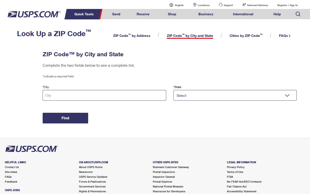
The captured lookup shows the official verification route. Save the standardized result, including any unit and ZIP+4, but carry it into city and county systems as a search key, not as proof that a person lives there.
Finding Auburn Residents by ZIP
A ZIP code directory narrows a large city search, but each official record has its own input rules. Auburn's parcel data distinguishes the property street location from the owner's mailing city and postal number. Alabama's individual voter portal requires an exact first name, last name, full date of birth, and a challenge response. It cannot browse all voters in a delivery area. A formal voter-list request can specify a city or district and selected fields, but access and use are controlled by state law.
- Verify the full address in USPS and note the standardized postal routing.
- Check Auburn's map for the address point, city-limit status, authority, and parcel context.
- Compare the parcel's situs street with the owner's mailing city and postal number. Do not merge them.
- Use the exact identifying inputs required by the official person-level source.
- Once the area narrows to a named road, continue with the Auburn street directory for street-level records.
The statewide voter-list request offers mail, email, or pickup delivery and paper, thumb-drive, email, Excel, or tab-delimited output choices. The Secretary of State quotes the cost before payment; the published schedule is one cent per voter electronically, one dollar per paper page, and five dollars for certification. Effective June 1, 2026, Alabama law tightened limits on publication, sale, and commercial use, so this is a controlled request route rather than an unrestricted ZIP-wide browser.
A parcel result can show an owner or ownership entity, not each occupant. Student-oriented multifamily properties make that distinction especially important in Auburn. The ZIP step organizes geography; it does not turn an ownership roll into a household list.
Auburn ZIP Lines and City Limits
A mailing city is a postal convention. Auburn's incorporated boundary comes from city-limit and annexation polygons maintained by Planning. The municipal GIS also reaches planning-jurisdiction parcels and contains multiple address authorities and postal areas. An address labeled Auburn can sit beyond the city line, while a parcel visible in a city-hosted viewer need not be incorporated.
The City of Auburn map resources are the official route to that second geographic test. Compare City Limits, Annexations, address points, parcels, subdivisions, and nearby municipal lines. The city also publishes wards, polling places, school zones, police beats, fire zones, zoning, floodplain, apartments, and mobile-home parks, but each layer answers a different question.
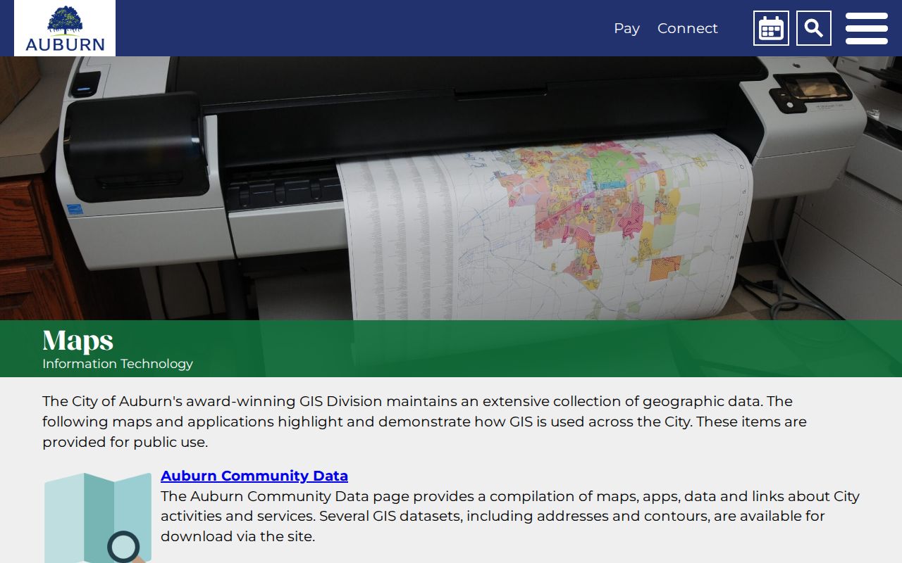
The map screen helps separate delivery geography from civic geography. When a municipal permit result and a postal address seem to disagree, inspect the city-limit and annexation layers before deciding that either source is wrong.
- ZIP+4
- An added four-digit segment that directs mail to a smaller delivery unit, route, department, or group.
- PO-box ZIP
- A postal number used for boxes at a facility rather than ordinary street delivery.
- Unique ZIP
- A postal number assigned to a large institution or organization, such as a university operation.
- Carrier route
- A postal delivery path. It is not the same as a voting precinct, neighborhood, or city district.
Auburn Addresses Need Three Labels
Situs means the physical location of a parcel. An owner mailing address is where tax correspondence goes. A legal description identifies land through a subdivision and lot or through metes and bounds, a boundary description based on measured lines. These three fields can point to different places without any error.
Auburn's address schema is more detailed than a simple mailing line. It preserves street number, an old modifier, directions, road pre-types such as Lee Road, Alabama Highway, U.S. Highway, and Interstate Highway, street suffix, unit type, full address, mailing city and postal number, university flag, assigning authority, classification, and created date. Use each component as labeled.
The parcel number is an assessor key, not a postal locator. No official guide explaining each digit in Lee County's parcel numbering was found. Keep the full identifier unchanged and ask the county office when its internal structure matters.
Growth Reshapes Auburn Search Areas
Auburn counted 76,143 residents in the 2020 census. The Census Bureau's July 1, 2025 estimate was 85,113, an 11.1 percent rise from the 2020 base. That growth is meaningful context for western expansion, new subdivisions, and the frequent mismatch between older records and current map patterns. It does not establish a population total for any one postal area.
Neighborhood era should guide the source choice. Historic-core addresses may connect with early directories, newspapers, census schedules, and Sanborn maps. Later subdivisions depend more heavily on plats, deeds, tax cards, annexation records, and permit material. A student-oriented complex may have fast occupant turnover while the same ownership entity remains on the parcel record.
No verified local postal split or realignment year was located. Do not invent one to explain growth. Instead, compare the date attached to the address point, annexation layer, subdivision record, and source document.
Auburn's Unverified ZIP Listing
Numeric-range displays can make 36831 look like an ordinary Auburn option. The research did not locate an official Auburn street-delivery result or postal facility for that number. A range is not the same as evidence that a resident address uses it.
Run the exact address through USPS, then retain the result produced for that address. If a historical document carries 36831, preserve the date and source before searching for later equivalents. Postal assignments can change, but no specific Auburn change year was verified here.
This caution captures the core limit of the Auburn ZIP code directory: it organizes verified delivery roles while marking what remains unresolved. A five-digit number can narrow a search. Only the source record, municipal map, and responsible custodian can establish what that number meant for a particular address and time.