
Auburn Neighbor Block Sources
No official Auburn block roster joins each address to every person who lives there. Public tools instead provide separate layers. The city parcel service can show the shape and indexed owner for nearby lots. Lee County supplies the tax and appraisal check. A statutory voter file may contain residence fields when lawfully released, but it is not an open block browser. Community groups can identify contacts and activities without publishing private membership.
| Source | What It Shows About a Block | Access |
|---|---|---|
| Auburn GIS adjacent click | Parcel owner, situs, deed, tax, subdivision and lot context | Free map; owner is not occupant |
| Lee Revenue and GIS | County appraisal and current tax-roll check | Free public search |
| Map measure and browse | A defined radius or street segment | Free; not a resident roster |
| Alabama voter file | Lawfully released registration and address fields | Paid request with 2026 restrictions |
| Auburn Cemetery Viewer | Named burials and nearby plots | Historical and decedent context only |
| Associations and archives | Public contacts, events and community history | No verified Auburn member directory |
Use the first two sources to define the land around an address. Add another source only if it answers a distinct question. An owner mailing address, voter residence, and group contact are different facts, so they should not be merged into a claim about who occupies an Auburn home.
Map Auburn Neighbors by Parcel
The Auburn City Map supports address, street, subdivision, and map browsing. Its official layers include parcels, address points, subdivisions, lots, annexations, city limits, wards, polling places, school zones, police beats, fire zones, floodplain, zoning, apartments, and mobile-home parks. The parcel layer can expose owner mailing fields, situs street, parcel or PIN, deed book and page, subdivision and lot, acreage, value fields, and a prior owner.
- Locate the subject address and turn on the parcel and address layers. Zoom until lot lines on the immediate block are clear.
- Click the subject parcel, then each parcel that touches it. Record situs, owner, mailing locality, PIN, subdivision or lot, homestead field, and deed reference.
- Use the map’s distance or area measure to define what “nearby” means. Pan on both sides of the road only as far as the chosen block or radius.
- Recheck ownership in Lee County Revenue data when timing matters. Auburn geometry is maintained promptly, while county attributes update quarterly.
This method keeps an Auburn block search reproducible. For the broader record chain along an entire named road, use the Auburn street directory rather than stretching a block search beyond its purpose.
Auburn Owners Are Not Occupants
A parcel record names an owner or ownership entity. It does not list renters, family members, visitors, utility customers, or every person in a multi-unit building. Auburn’s large student population makes that gap especially important. One company or remote owner may hold a parcel where many students live. Even a matching owner mailing address only strengthens an inference. It does not turn the tax roll into a household directory.
Read the fields literally. Situs is the physical parcel location. Mailing fields show where tax correspondence goes. A deed reference points to a recorded conveyance. Homestead information may help, but Lee County did not publish the meanings of its code values in the research, so a code should be confirmed with Appraisal. Recent transfers can also lag while a new parcel shape appears before the county ownership fields refresh.
- Parcel
- A mapped unit of land with a county or GIS identifier.
- Situs address
- The physical location assigned to the parcel.
- Owner mailing address
- The destination for tax correspondence, which may be elsewhere.
- Deed reference
- The book and page key used to locate a recorded ownership instrument.
Auburn Neighbor Voter Limits
My Voter Page verifies one person with first name, last name, full date of birth, and a challenge. It may confirm status and polling details. It cannot browse every voter around an Auburn address. A separate polling-place tool accepts a residential address, but that result identifies where a voter would vote, not the people on the block.
The Alabama Secretary of State voter-list form can request a county, city, or district scope and selected fields, including residence address when available. Delivery can be by mail, email, or pickup, with paper or electronic formats. The office quotes the cost before payment. Effective June 1, 2026, Ala. Code § 17-4-38 places tighter limits on publication, sale, and commercial use. Sensitive identifiers stay private, and specified officials and spouses can file a confidentiality affirmation that omits all public fields except the name.
Those rules mean voter data should not be presented as an unrestricted Auburn block directory. Use individual verification for its stated purpose, and direct questions about a lawful list request to the Secretary of State.
Auburn Community Contacts, Not Rosters
No comprehensive official Auburn neighborhood-association roster or member-directory status was found. City planning material names planning areas, but those labels are not household lists. It would be inaccurate to invent HOA names, imply that an association holds a public roster, or promise access to member details. Public group pages can still offer a lawful contact, meeting notice, or record of community activity.
| Community Source | Verified Public Value | Roster Limit |
|---|---|---|
| Auburn planning materials | Named planning areas and civic geography | Not household directories |
| Auburn ArchivesSpace | Indexes more than 43 Auburn-related collections | Archive descriptions are not current member lists |
| Faith and civic archives | Newsletters, yearbooks, minutes, and group history where cataloged | Historical presence does not prove current residence |
| Lee County Historical Society | Trails in History PDF index and regional links | No complete manuscript inventory or fee research service verified |
Auburn ArchivesSpace includes collections tied to the Auburn Unitarian Universalist Fellowship, Beth Shalom Synagogue, Trinity Episcopal, Mount Olive Baptist, and Rotary Club of Auburn. These can place people in a past community context. Contact an organization through information it publishes itself, and do not treat archived participation as a current home address.
Auburn Records Versus Neighbor Tools
Official rolls and commercial neighbor tools serve different roles. The public office controls the original record and can explain a field, correct an error, or provide a certified copy. A commercial service combines public and purchased data. Its match may be old, merged with another person, or detached from the record date. Removing a compiled listing does not remove the Lee County parcel or another lawful source record.
| Choice | Strength | Limit |
|---|---|---|
| Official parcel or tax roll | Named custodian and defined fields | Ownership, not the full household |
| Official court or voter route | Agency context and access rules | Confidential and restricted material omitted |
| Commercial compilation | May gather clues in one place | Freshness, source, and identity matching may be unclear |
If a commercial listing is wrong, use that service’s own privacy or opt-out page, provide the least identity data required, save the result, and check again later. No general Alabama deletion portal or comprehensive data-broker registry was verified in the official research.
Historic Auburn Neighbor Clusters
The Auburn Cemetery Viewer offers a different kind of proximity evidence. It searches by name and birth, death, or burial dates, then maps nearby plots. A cluster can guide family-history work when paired with obituaries and vital indexes. It describes burials, not living people nearby. Pine Hill Cemetery opened in 1837 and has an oldest marker dated 1838, but early records do not survive and a systematic survey began only in the 1950s.
Neighborhood era also shapes the useful sources. Historic core blocks can be paired with directories, census schedules, newspapers, and Sanborn maps. Later subdivisions rely more on plats, deeds, tax cards, annexation layers, and permits. Auburn’s old Main and Church streets became North College and North Gay in the late nineteenth century, so a historic block search may require both names. Community context must follow the date of the record.
Place Auburn Neighbors in Bounds
An Auburn mailing line does not prove that a parcel lies within Auburn city limits. The official GIS distinguishes city limits from annexation areas and also covers planning-jurisdiction parcels. Its address data recognizes six authorities: Auburn University, City of Auburn, City of Opelika, Lee County, Private, and State of Alabama. An address point may also be a standard address, unit, utility, emergency phone, temporary point, or mile marker rather than a single home.
Turn on city-limit and annexation layers before treating a nearby parcel as a city record. Then note the subdivision, lot, ward, school zone, and public-safety layers only for the civic question each one answers. A boundary can explain why an Auburn permit search does not match a county parcel or why two close homes use different services. It does not identify the people within either parcel.
Request Auburn Block Records Narrowly
When the map does not answer a focused question, the City of Auburn public-records route accepts requests tied to identified city records. Ask for a clear record type, address, and date range. A request should not ask the city to create a neighbor roster it does not keep. Police and municipal court material also have separate custodians and privacy limits.
The Auburn Police page is the official route for department contacts and records guidance.
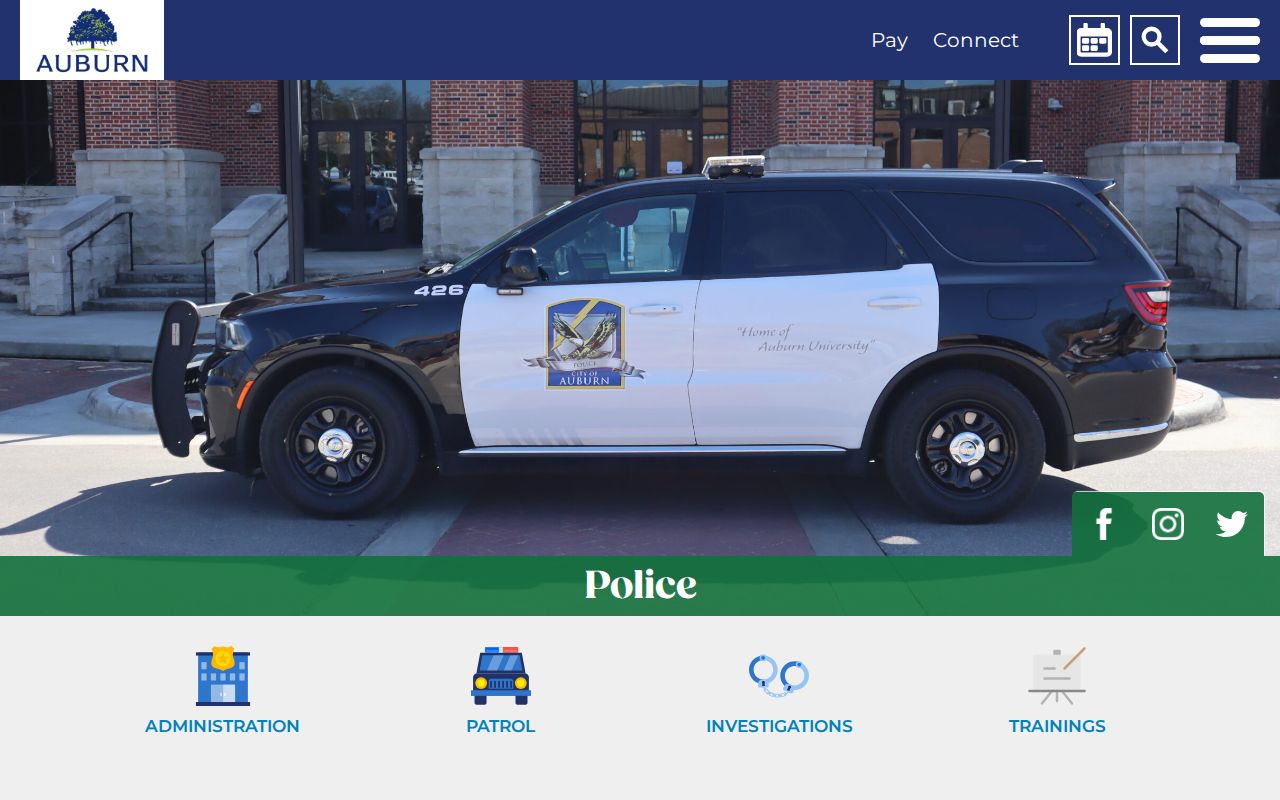
The page provides a custodian route, not an invitation to infer misconduct from an address or a person’s proximity to an incident.
Auburn Municipal Court handles ordinance, traffic, and adopted state-misdemeanor matters. Its official court page is the source for court contact and access information.
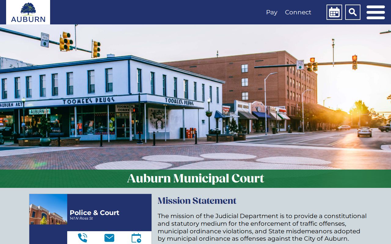
That separate court route helps avoid sending a city case request to the Lee County Circuit Clerk or treating a court name match as proof about the whole block.
Privacy for Auburn Neighbors
Renters, household members, visitors, utility customers, delivery data, and many unit occupants stay outside the parcel index. Protected voters may have reduced public fields. Driver-record addresses are restricted by federal law. Court and recorded-document redactions depend on the record and statute. A nearby owner’s public mailing address should never be used as a reason for surveillance or unwanted contact.
Use block records for civic curiosity, family or neighborhood history, reconnecting through a respectful public channel, or checking which office maintains a property fact. If a record appears wrong, ask the named custodian about correction or lawful redaction. Auburn Police can be reached through its official number for a local non-emergency, while an immediate emergency belongs with 911.
Lawful use. Research about Auburn neighbors must not be used to watch, threaten, harass, intimidate, or harm anyone on the block.